Nils Schmid · 23 October 2026
Hainlyn's Forgotten Canals: New Mapping Project Reveals Hidden Waterways
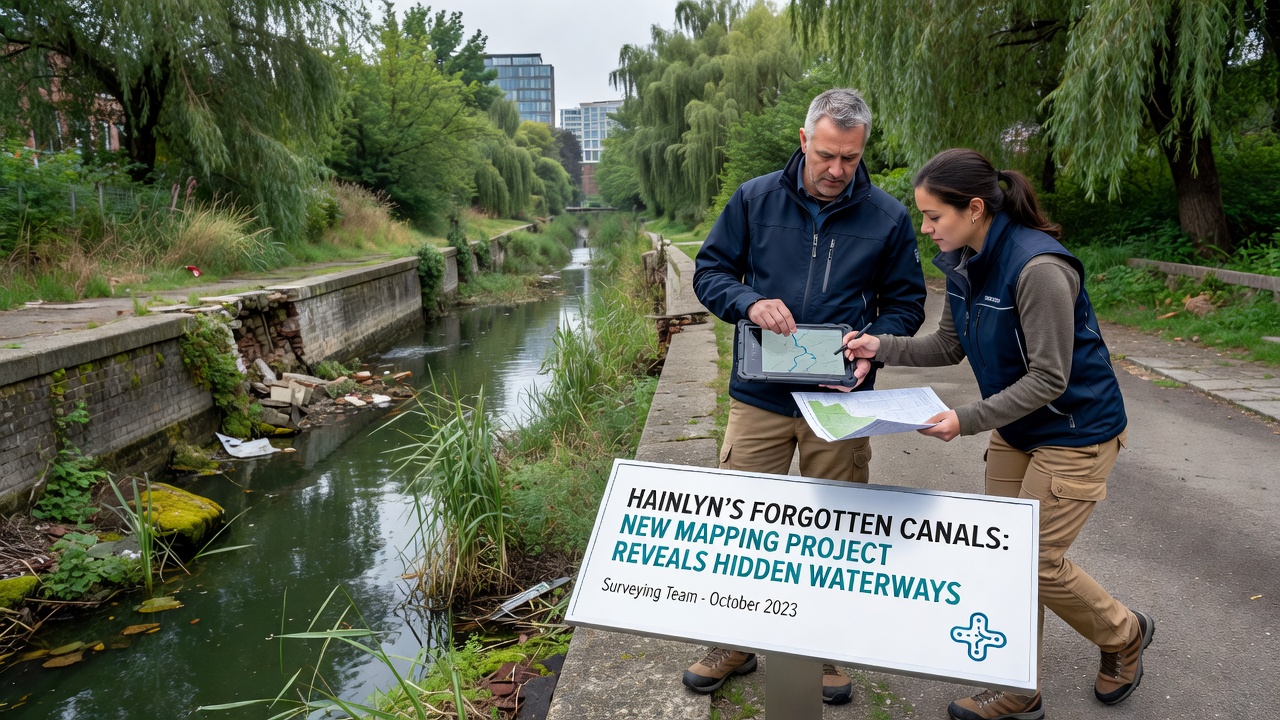
Researchers initiated a comprehensive mapping initiative across Hainlyn in October 2026 that integrates LiDAR scanning with historical records, and this work has brought several buried waterways into view beneath residential and industrial zones. Local surveying teams combined drone footage with archival maps from the 1800s, while ground-penetrating radar confirmed the presence of stone-lined channels that once supported trade routes through the region. Project leads report that these features span approximately 12 kilometers in total length, many of which connect directly to the main river system feeding the city.
Technology Driving the Discoveries
Advanced remote sensing equipment allowed crews to identify subtle elevation changes and vegetation patterns that signal underground water flow, and data from these tools aligned closely with 19th-century engineering drawings held in municipal archives. The European Space Agency provided satellite imagery that helped calibrate the ground-based measurements, while additional processing at regional research facilities refined the three-dimensional models of the canal beds. Teams documented variations in water depth ranging from 0.8 meters in narrower passages to over 2.5 meters in the primary branches, with sediment layers indicating periods of active use followed by gradual infilling.
One field crew working near the old textile district located a junction point where three separate channels converge, and this configuration matches descriptions found in trade ledgers from 1874. Surveyors marked each intersection with GPS coordinates for future reference, creating a digital layer that city planners can now overlay onto current infrastructure maps. Such integration reveals how the forgotten network once managed seasonal flooding before modern drainage systems took over.
Historical Context and Urban Development
Records indicate that Hainlyn's canal system supported barge traffic carrying coal, grain, and manufactured goods until rail lines assumed dominance in the early 1900s, after which many branches were covered or diverted. Construction projects in the 1950s and 1960s further obscured sections when new roads and housing developments were built atop the original routes. The recent mapping effort cross-referenced property deeds and engineering permits to trace these alterations, producing a timeline that shows progressive abandonment rather than sudden closure.
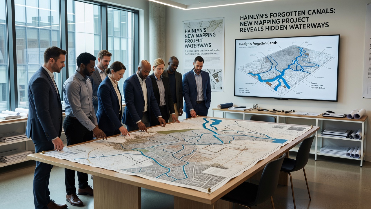
Environmental monitoring stations installed along the revealed segments have begun recording baseline water quality data, and initial samples show lower nutrient levels than in the main river channel. Researchers attribute this difference to limited surface runoff reaching the deeper, enclosed sections. Ongoing measurements will track seasonal changes as autumn rains increase flow through the previously unknown connections.
Potential Applications for City Planning
Municipal engineers have started reviewing teh new maps to assess whether sections of the hidden network could supplement existing stormwater infrastructure, and preliminary modeling suggests modest capacity increases during peak rainfall events. The US Geological Survey has published comparable case studies from North American cities where similar rediscovered waterways improved urban resilience without requiring large-scale excavation. In Hainlyn, planners are examining options such as controlled access points that would allow maintenance while preserving the historic masonry.
Local universities have expressed interest in using the site for hydrological field studies, and student teams are already collecting data on aquatic invertebrates that have recolonized sections where water has remained consistent. These observations add biological detail to the engineering records and may inform future restoration priorities. A separate analysis from Environment and Climate Change Canada highlights how preserved underground channels in comparable climates have reduced surface flooding by measurable percentages when properly integrated into drainage networks.
Next Steps in Documentation
Work continues on high-resolution 3D models that will be made available through an open data portal by early 2027, allowing architects, historians, and environmental specialists to examine the findings independently. Additional ground surveys are scheduled for areas where radar signals indicated possible side branches, and crews will verify these locations before updating the master dataset. Coordination between the mapping team and the local heritage office ensures that any artifacts uncovered during verification receive proper cataloging.
Conclusion
The October 2026 mapping project has established a clearer picture of Hainlyn's subsurface water infrastructure than previously existed, linking physical evidence with archival sources to document features long removed from everyday view. Continued monitoring and data sharing will determine how these discoveries influence both preservation efforts and practical infrastructure decisions in the years ahead.